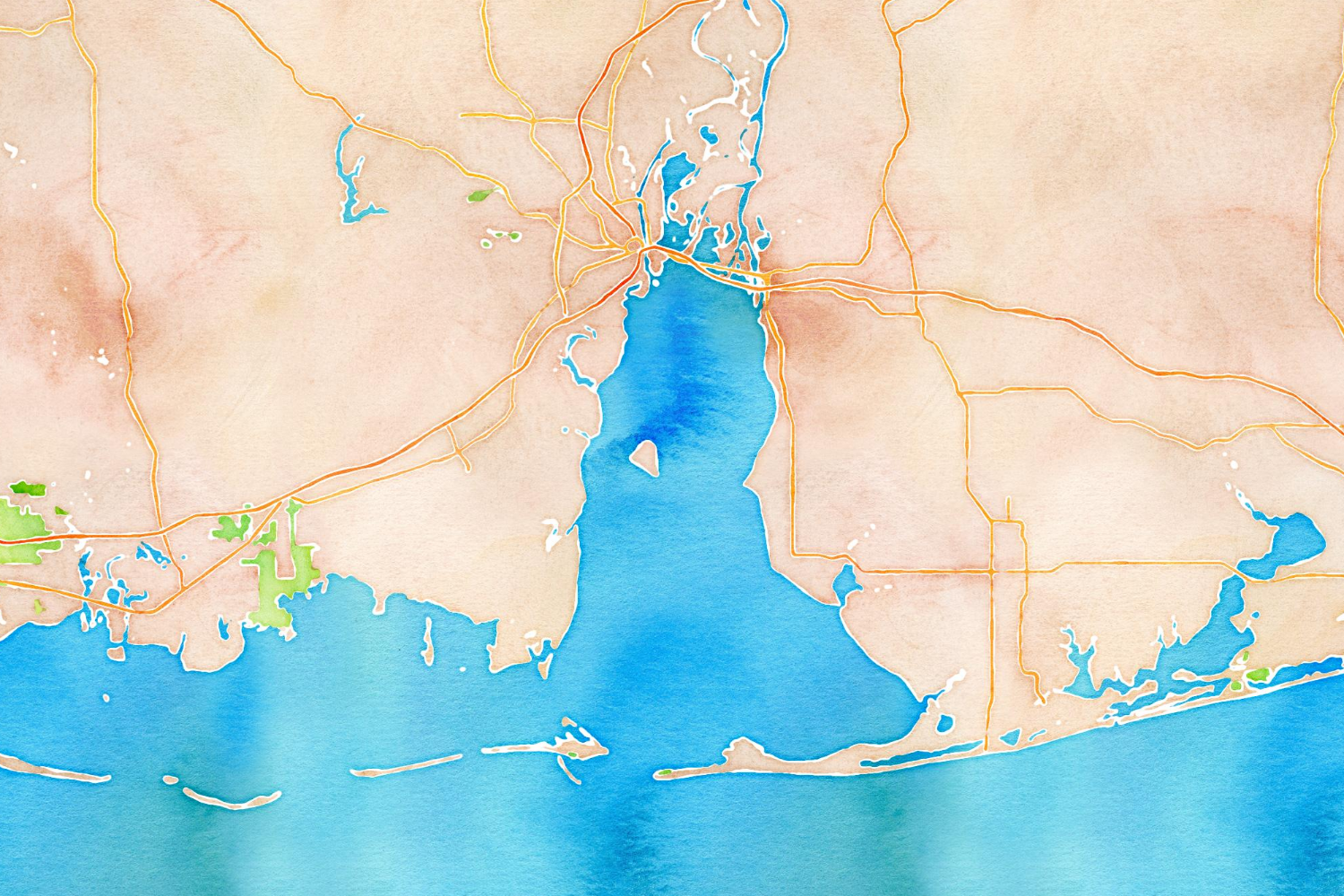
Using data from the OpenStreetMap project, the folks at Stamen made a watercolor overlay algorithm way back in 2012. Well, it’s new to me and totally awesome. It also makes great imagery for places where water is important to the community identity — ie. the Gulf Coast.
(via Kottke)